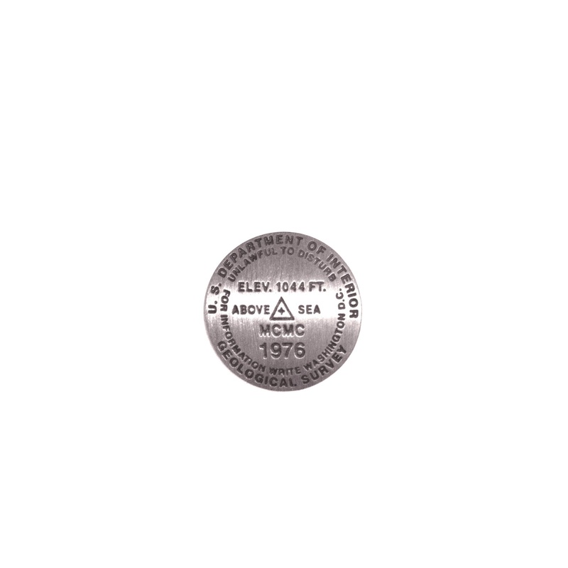
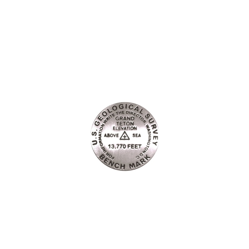
Mid-Continent Mapping Center Pin
1 inch diameter Cast in fine pewter Military clutch back Mounted on story cardPlace Name: Mid-Continent Mapping Center Elevation: 1044.181 ft.Coordinates: N37 57' 14.49142" W 91 44' 42.09178Location: Rolla, Missouri, USA Tracing its origins to an office in
- 1 inch diameter
- Cast in fine pewter
- Military clutch back
- Mounted on story card
Place Name: Mid-Continent Mapping Center
Elevation: 1044.181 ft.
Coordinates: N37 57′ 14.49142″ W 91 44′ 42.09178
Location: Rolla, Missouri, USA
Tracing its origins to an office in the Rolla Building at the Missouri School of Mines (now University of Missouri Rolla), the United States Geological Survey’s Mid-Continent Mapping Center has grown from a single employee in 1921 to more than 300 today.
During 1976, the various United States Geological Survey (USGS) offices, located in downtown Rolla, were consolidated into one single building and renamed the Mid-Continent Mapping Center (MCMC). MCMC is a primary production center responsible for all USGS mapping activities. In September of 1977, a brass benchmark was set in the front of the MCMC building for training purposes. In commemoration of the dedication of the new center, the benchmark was stamped “MCMC1976”. For more information about USGS activities and products, visit the USGS website at ask.usgs.gov or call 888-ASK-USGS.
Reviews
There are no reviews yet.