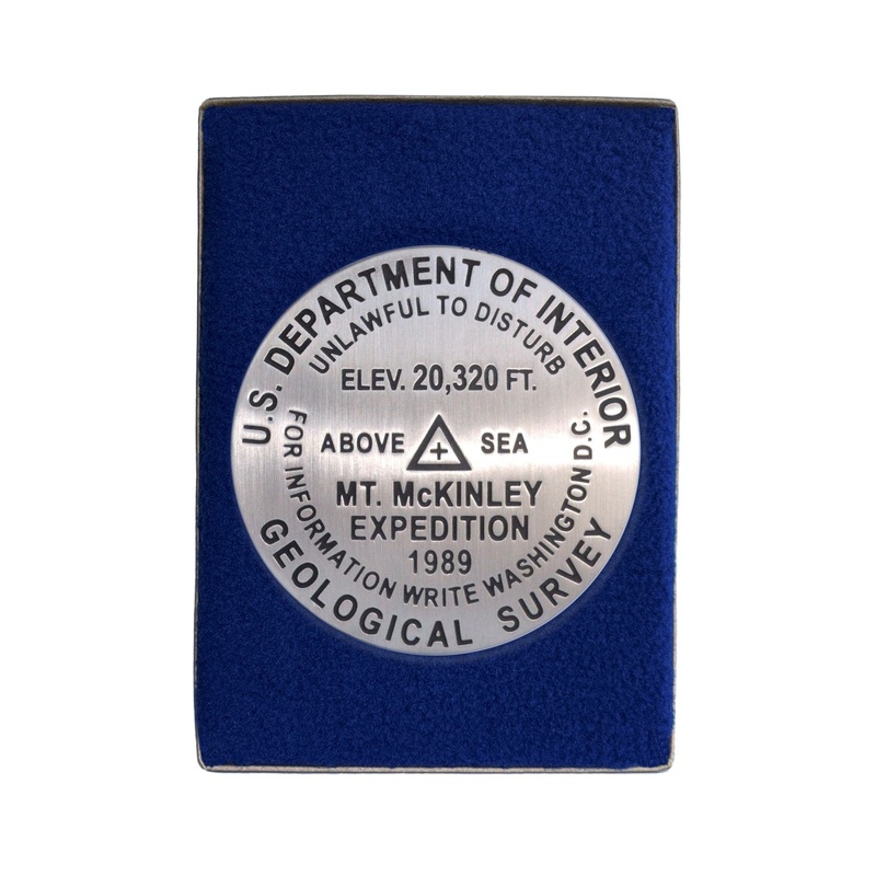
McKinley (Denali) Paperweight Historic Elevation
3 1/4 inch diameterCast in fine pewterButton Felt backingIn a fitted fleece interior of a clear-acrylic covered gift box.Place Name: Mount McKinley Elevation: 20,320 ft.Coordinates: N63 04' 10'' W151 00' 27'' Location: Denali National Park, Alaska, USA Mar
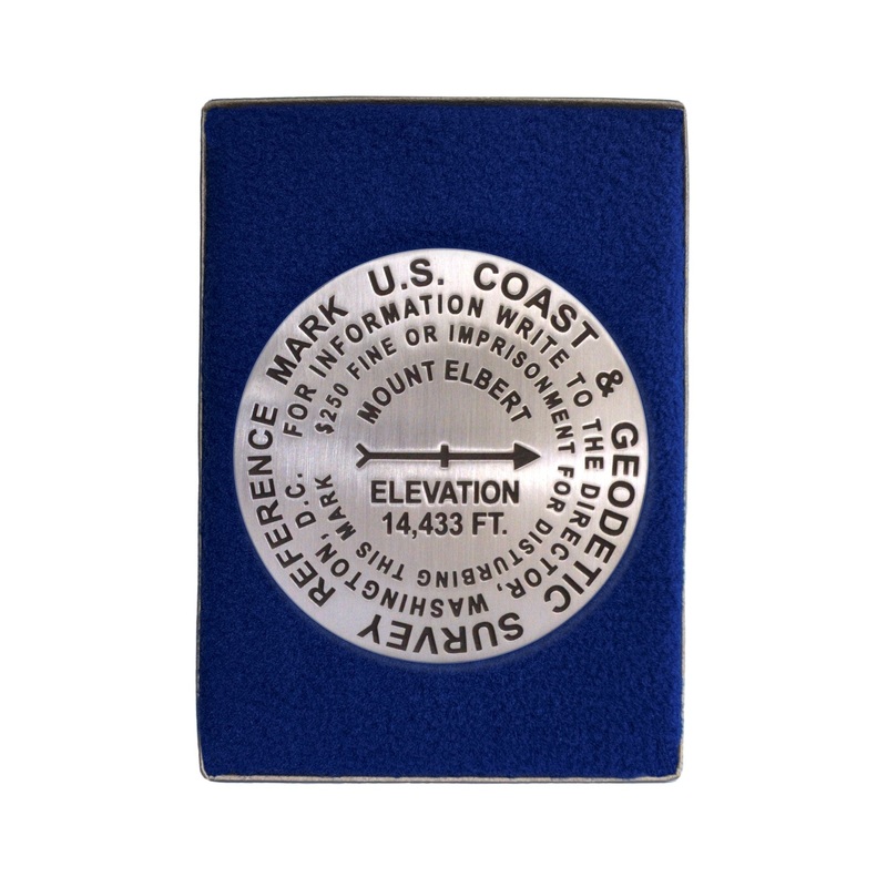
- 3 1/4 inch diameter
- Cast in fine pewter
- Button Felt backing
- In a fitted fleece interior of a clear-acrylic covered gift box.
Place Name: Mount McKinley
Elevation: 20,320 ft.
Coordinates: N63 04′ 10” W151 00′ 27”
Location: Denali National Park, Alaska, USA
MarkerSleuth Photo Contributor: Jeffrey Yates, 2001
Denali, meaning “The High One” is the highest mountain on the North American Continent. Its official name is Mount McKinley.
The McKinley Expedition 1989, was directed by Bradford Washburn, known for his earlier definitive map of McKinley, 1947-1951. This expedition used GPS (Global Positioning System) technology to take new measurements. Jeffrey Yates served on the McKinley Expedition 1989 and used GPS (Global Positioning System) technology to take new measurements. Jeffrey placed this mark at its summit. It is likely now under the summit ice cap.
We recognize the achievement of Barbara Washburn, who, in 1947, was the first woman to climb this continental high point.
Reviews
There are no reviews yet.