
Hebgen Lake Earthquake Pin
1 inch diameterCast in fine pewterMilitary clutch backMounted on story cardPlace Name: Hebgen Lake Earthquake Coordinates: N44 51 10 W111 23 20 Location: Earthquake Lake, Montana, USA MarkerSleuth Photo Contributor: None, Original artAt 11:37 p.m., local t
- 1 inch diameter
- Cast in fine pewter
- Military clutch back
- Mounted on story card
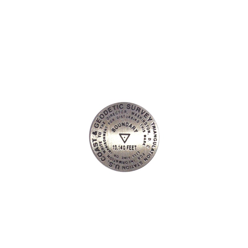
Place Name: Hebgen Lake Earthquake
Coordinates: N44 51 10 W111 23 20
Location: Earthquake Lake, Montana, USA
MarkerSleuth Photo Contributor: None, Original art
At 11:37 p.m., local time, August 17, 1959, the earth shook. Thus began the Hebgen Lake Earthquake, registering 7.5 on the Richter scale. Less than a minute long, it sent a 100 MPH, 80 million-ton landslide barreling down one mountainside and 400 feet up another. The quake blocked the Madison River, creating 190-foot-deep Earthquake Lake, dropping the bottom of adjacent Hebgen Lake 20 feet, and burying a campground under 230 feet of rock. Twenty-eight campers died, including 19 never found, and 250 were rescued the next day. In Yellowstone National Park, the quake slowed the Old Faithful eruption cycle by four minutes and caused dozens of thermal features to spew mud and water.


Reviews
There are no reviews yet.